Perrys Lookdown
Perrys Lookdown is located in Blackheath at the end of a 8 km dirt road Anvil Ridge beyond Hat Hill Road (GPS: 33.600139°S 150.346972°E).
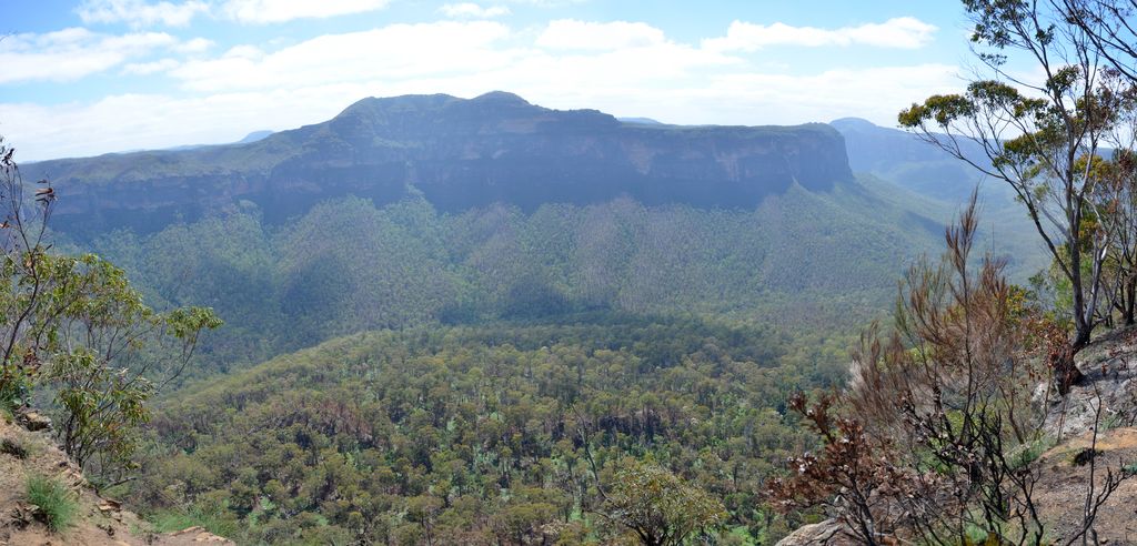
It is presumably named after Captain William Perry, the Deputy Surveyor General who worked under the leadership of Sir Thomas Mitchell. It offers grand views from the top of the escarpment into the Grose Valley and of the imposing sandstone cliffs of Mount Banks.

A 5.5 hours return bushwalk to the majestic Blue Gum Forest brings experienced hikers in a steep 656 metres descent into one of the region’s bushwalking and conservation icons. Five free campsites are adjacent to the car park.